
Guelta d'Archei topographic map
Interactive map
Click on the map to display elevation.
About this map
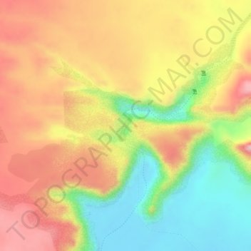
Name: Guelta d'Archei topographic map, elevation, terrain.
Location: Guelta d'Archei, Ennedi Ouest, Tchad (16.90231 21.77296 16.90579 21.77457)
Average elevation: 2,152 ft
Minimum elevation: 1,811 ft
Maximum elevation: 2,415 ft
Other topographic maps
Click on a map to view its topography, its elevation and its terrain.
Lac Yoa
Tchad > Ennedi Ouest > Ounianga Kebir
Lac Yoa, Ounianga Kebir, Ennedi Ouest, Tchad
Average elevation: 1,270 ft