
Puna topographic map
Click on the map to display elevation.
About this map
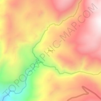
Name: Puna topographic map, elevation, terrain.
Location: Puna, Llauta, Provincia de Lucanas, Ayacucho, Perú (-14.20732 -74.89021 -14.16732 -74.85021)
Average elevation: 12,441 ft
Minimum elevation: 10,341 ft
Maximum elevation: 13,776 ft