
Memleben topographic map
Interactive map
Click on the map to display elevation.
About this map
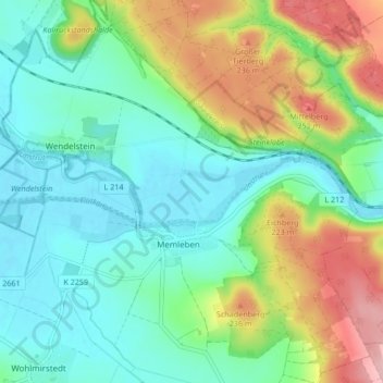
Name: Memleben topographic map, elevation, terrain.
Average elevation: 538 ft
Minimum elevation: 367 ft
Maximum elevation: 922 ft
Other topographic maps
Click on a map to view its topography, its elevation and its terrain.
Lützen
Allemagne > Saxe-Anhalt > Burgenlandkreis > Lützen > Lützen
Lützen, Burgenlandkreis, Saxe-Anhalt, 06686, Allemagne
Average elevation: 410 ft