
Secret Cove topographic map
Interactive map
Click on the map to display elevation.
About this map
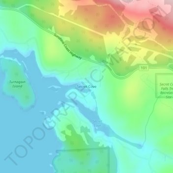
Name: Secret Cove topographic map, elevation, terrain.
Average elevation: 240 ft
Minimum elevation: -3 ft
Maximum elevation: 833 ft
Other topographic maps
Click on a map to view its topography, its elevation and its terrain.
Halfmoon Bay
Canada > British Columbia > Halfmoon Bay
Halfmoon Bay, Sunshine Coast Regional District, British Columbia, Canada
Average elevation: 335 ft