Geolocate

Samtredia topographic map

Click on the map to display elevation.

About this map

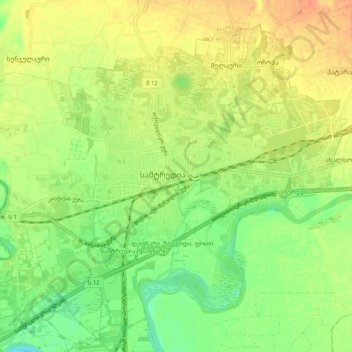
Name: Samtredia topographic map, elevation, terrain.

Location: Samtredia, Samtredia Municipality, Imereti, 3900, Georgia (42.14761 42.30201 42.18063 42.40328)

Average elevation: 85 ft

Minimum elevation: 23 ft

Maximum elevation: 141 ft

Gear up for your next adventure:

Backpacking Tents - Weight-optimized shelters for multi-day topographic surveys
📚USA Hiking Guide Books - Top trail guides and map books
🖼️Topo Map Wall Art - Decorative topographic prints of famous peaks and regions
🧣Merino Neck Gaiters - Multi-functional headwear for wind and sun protection
🚗GPS Dash Cams - Record your scenic drives through mountain passes and canyons

As an Amazon Associate, this site earns from qualifying purchases at no extra cost to you.