
Make a donation
Gear up for your next adventure:
As an Amazon Associate, this site earns from qualifying purchases at no extra cost to you.
Alto Alegre topographic map
Click on the map to display elevation.
Make a donation
Gear up for your next adventure:
As an Amazon Associate, this site earns from qualifying purchases at no extra cost to you.
About this map
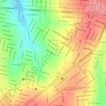
Name: Alto Alegre topographic map, elevation, terrain.
Average elevation: 2,352 ft
Minimum elevation: 2,156 ft
Maximum elevation: 2,500 ft
Make a donation
Gear up for your next adventure:
As an Amazon Associate, this site earns from qualifying purchases at no extra cost to you.
Other topographic maps
Click on a map to view its topography, its elevation and its terrain.
Cascavel
Consideravelmente novo e com topografia privilegiada, teve seu desenvolvimento planejado, o que lhe deu ruas largas e bairros bem distribuídos, com o quarto melhor planejamento e urbanismo do país, de acordo com o Ranking Connected Smart Cities 2020.
Average elevation: 2,221 ft
Make a donation
Gear up for your next adventure:
As an Amazon Associate, this site earns from qualifying purchases at no extra cost to you.