
陇城镇 topographic map
Interactive map
Click on the map to display elevation.
About this map
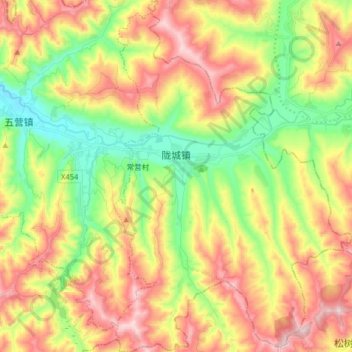
Name: 陇城镇 topographic map, elevation, terrain.
Location: 陇城镇, 秦安县, 天水市, 甘肃省, 中国 (34.92795 105.94338 35.05965 106.05217)
Average elevation: 5,453 ft
Minimum elevation: 4,731 ft
Maximum elevation: 6,316 ft
Other topographic maps
Click on a map to view its topography, its elevation and its terrain.