
五营镇 topographic map
Interactive map
Click on the map to display elevation.
About this map
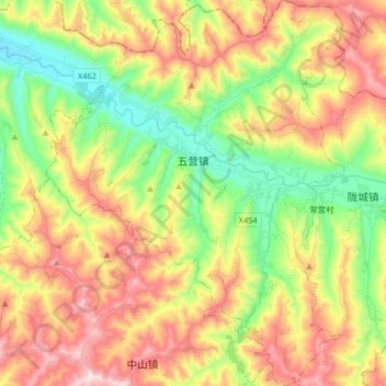
Name: 五营镇 topographic map, elevation, terrain.
Location: 五营镇, 秦安县, 天水市, 甘肃省, 中国 (34.93613 105.83767 35.06972 105.96411)
Average elevation: 5,463 ft
Minimum elevation: 4,610 ft
Maximum elevation: 6,506 ft
Other topographic maps
Click on a map to view its topography, its elevation and its terrain.