Geolocate

Soffranco topographic map

Click on the map to display elevation.

About this map

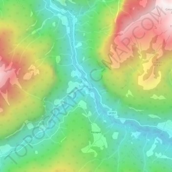
Name: Soffranco topographic map, elevation, terrain.

Location: Soffranco, Longarone, Belluno, Veneto, 32013, Italia (46.25815 12.22433 46.29815 12.26433)

Average elevation: 3,451 ft

Minimum elevation: 1,627 ft

Maximum elevation: 6,496 ft

Gear up for your next adventure:

🗺️NatGeo Topo Maps - High-quality waterproof printed topographic maps of US Parks
Backpacking Tents - Weight-optimized shelters for multi-day topographic surveys
🛠️Outdoor Gear Repair Kit - Essential tools to fix gear on the trail
🔥Camping Stove - Portable stove for camping and backcountry cooking
🔭Telescopic Hiking Pole - Adjustable pole for hiking stability

As an Amazon Associate, this site earns from qualifying purchases at no extra cost to you.