Geolocate

Bugam-ri topographic map

Click on the map to display elevation.

About this map

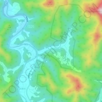
Name: Bugam-ri topographic map, elevation, terrain.

Location: Bugam-ri, Boeun-gun, North Chungcheong, 28910, South Korea (36.52751 127.77480 36.56751 127.81480)

Average elevation: 1,342 ft

Minimum elevation: 876 ft

Maximum elevation: 2,500 ft

Gear up for your next adventure:

🪑Portable Camp Table - Compact table for campsite meals
🛰️Handheld GPS Units - Professional satellite navigators for precise backcountry mapping
🩳Quick‑Dry Hiking Shorts - Comfortable and quick‑dry shorts for summer hiking
🧭Map Reading Tools - Tools and kits for map navigation
📦Gear Storage Bags - Organize and protect outdoor equipment

As an Amazon Associate, this site earns from qualifying purchases at no extra cost to you.