Geolocate

Grub topographic map

Click on the map to display elevation.

About this map

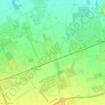
Name: Grub topographic map, elevation, terrain.

Location: Grub, Poing, Landkreis Ebersberg, Bayern, 85586, Deutschland (48.14765 11.76202 48.18765 11.80202)

Average elevation: 1,693 ft

Minimum elevation: 1,647 ft

Maximum elevation: 1,739 ft

Gear up for your next adventure:

🧭Pro Hiking Compasses - High-accuracy liquid-filled compasses for topographic orientation
📚USA Hiking Guide Books - Top trail guides and map books
📖Nature Tracking Books - Learn to track wildlife and terrain
👓Polarized Sunglasses - Outdoor sunglasses for glare reduction
🔭Compact Binoculars - HD vision for scouting terrain and identifying distant landmarks

As an Amazon Associate, this site earns from qualifying purchases at no extra cost to you.