Geolocate

Maple City topographic map

Click on the map to display elevation.

About this map

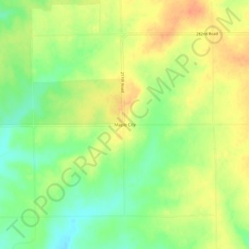
Name: Maple City topographic map, elevation, terrain.

Location: Maple City, Cowley County, Kansas, 67102, United States (37.03586 -96.78836 37.07586 -96.74836)

Average elevation: 1,319 ft

Minimum elevation: 1,247 ft

Maximum elevation: 1,381 ft

Cowley County trails, hiking, mountain biking, running and outdoor activities

Gear up for your next adventure:

🪶Camp Gear Gift Set - Perfect gift bundle for outdoor fans
🪶Trail Camera - Capture wildlife on your hikes
🪶Compact Camp Shovel - Folding shovel for campsite tasks
🪶LED Camping Lantern - Bright lantern for camp lighting
🧭Map Reading Tools - Tools and kits for map navigation

As an Amazon Associate, this site earns from qualifying purchases at no extra cost to you.