Geolocate

Kalavoor topographic map

Click on the map to display elevation.

About this map

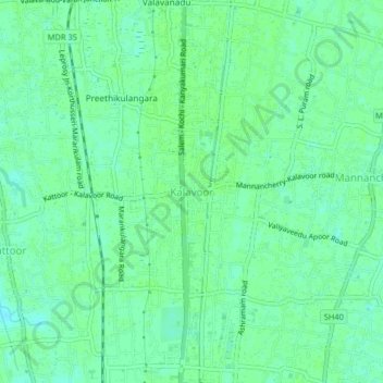
Name: Kalavoor topographic map, elevation, terrain.

Location: Kalavoor, Ambalappuzha, Alappuzha, Kerala, 688522, India (9.55052 76.30861 9.59052 76.34861)

Average elevation: 30 ft

Minimum elevation: 13 ft

Maximum elevation: 39 ft

Gear up for your next adventure:

📖Nature Tracking Books - Learn to track wildlife and terrain
📌Outdoor GPS Map App - Apps and devices for digital topographic navigation
🪶Camp Gear Gift Set - Perfect gift bundle for outdoor fans
🌄Hiking Binoculars - Compact binoculars for scenic views and trail spotting
💧Water Purification System - Clean water on the trail with reliable purifiers

As an Amazon Associate, this site earns from qualifying purchases at no extra cost to you.