
Hawkley topographic map
Click on the map to display elevation.
About this map
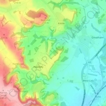
Name: Hawkley topographic map, elevation, terrain.
Location: Hawkley, East Hampshire, Hampshire, England, United Kingdom (51.03797 -0.95693 51.08867 -0.90052)
Average elevation: 410 ft
Minimum elevation: 194 ft
Maximum elevation: 830 ft