Geolocate

Deurningen topographic map

Click on the map to display elevation.

About this map

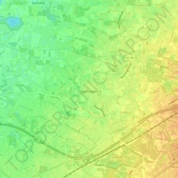
Name: Deurningen topographic map, elevation, terrain.

Location: Deurningen, Dinkelland, Overijssel, Netherlands (52.27296 6.80749 52.32702 6.91213)

Average elevation: 72 ft

Minimum elevation: 20 ft

Maximum elevation: 115 ft

Other topographic maps

Click on a map to view its topography, its elevation and its terrain.

Enschede

Netherlands > Overijssel > Enschede

Average elevation: 112 ft

Witteberg

Netherlands > Overijssel

Average elevation: 187 ft

Zuurberg

Netherlands > Overijssel > Holten

Average elevation: 56 ft

Tankenberg

Netherlands > Overijssel > de Lutte

Average elevation: 190 ft

Helhuizen

Netherlands > Overijssel > Holten

Average elevation: 66 ft

Usselo

Netherlands > Overijssel > Enschede

Average elevation: 102 ft

Frankhuis

Netherlands > Overijssel > Zwolle

Average elevation: 10 ft

Gear up for your next adventure:

🧣Merino Neck Gaiters - Multi-functional headwear for wind and sun protection
🧤Hiking Gloves - Protective gloves for rugged trails
👓Polarized Sunglasses - Outdoor sunglasses for glare reduction
🔦LED Headlamp - Bright and durable LED headlamp for night navigation
🥾Men's Hiking Boots - Durable, waterproof footwear for rugged terrain and steep inclines

As an Amazon Associate, this site earns from qualifying purchases at no extra cost to you.