Geolocate

Badlands topographic map

Click on the map to display elevation.

About this map

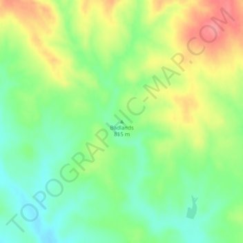
Name: Badlands topographic map, elevation, terrain.

Location: Badlands, Perkins County, South Dakota, United States (45.22077 -102.73105 45.22087 -102.73095)

Average elevation: 2,713 ft

Minimum elevation: 2,598 ft

Maximum elevation: 2,871 ft

Perkins County trails, hiking, mountain biking, running and outdoor activities

Gear up for your next adventure:

🌎3D Topographic Globes - Raised relief globes for a tactile understanding of geography
🪶Camp Gear Gift Set - Perfect gift bundle for outdoor fans
🔦LED Headlamp - Bright and durable LED headlamp for night navigation
🛏️Cold Weather Sleeping Bag - Warm sleeping bag for cold conditions
🌡️Portable Weather Meter - Track weather conditions on the trail

As an Amazon Associate, this site earns from qualifying purchases at no extra cost to you.