
Thank you for supporting this site ❤️
Make a donation
Make a donation
Gear up for your next adventure:
As an Amazon Associate, this site earns from qualifying purchases at no extra cost to you.
Castelcanafurone topographic map
Click on the map to display elevation.
Thank you for supporting this site ❤️
Make a donation
Make a donation
Gear up for your next adventure:
As an Amazon Associate, this site earns from qualifying purchases at no extra cost to you.
About this map
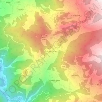
Name: Castelcanafurone topographic map, elevation, terrain.
Location: Castelcanafurone, Ferriere, Piacenza, Emilia-Romagna, Italia (44.65703 9.39412 44.69703 9.43412)
Average elevation: 2,753 ft
Minimum elevation: 1,138 ft
Maximum elevation: 4,098 ft
Thank you for supporting this site ❤️
Make a donation
Make a donation
Gear up for your next adventure:
As an Amazon Associate, this site earns from qualifying purchases at no extra cost to you.