
Bang Kao topographic map
Interactive map
Click on the map to display elevation.
About this map
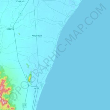
Name: Bang Kao topographic map, elevation, terrain.
Location: Bang Kao, Phetchaburi Province, Thailand (12.73636 99.86291 13.05636 100.18291)
Average elevation: 49 ft
Minimum elevation: -3 ft
Maximum elevation: 2,057 ft