Geolocate

Purandar topographic map

Click on the map to display elevation.

About this map

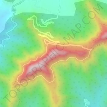
Name: Purandar topographic map, elevation, terrain.

Location: Purandar, Purandhar, Pune District, Maharashtra, 412302, India (18.28003 73.97425 18.28013 73.97435)

Average elevation: 3,425 ft

Minimum elevation: 2,674 ft

Maximum elevation: 4,495 ft

Gear up for your next adventure:

🔦Compact Flashlight - Reliable flashlight for emergencies
🧭Outdoor Navigation Book - Learn advanced navigation skills
👟Men's Trail Runners - Lightweight footwear for fast-paced exploration and light hiking
🩳Quick‑Dry Hiking Shorts - Comfortable and quick‑dry shorts for summer hiking
📻Weather Alert Radios - Stay informed of storm risks while off-the-grid

As an Amazon Associate, this site earns from qualifying purchases at no extra cost to you.