
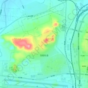
泡崖街道 topographic map
Interactive map
Click on the map to display elevation.
About this map
Name: 泡崖街道 topographic map, elevation, terrain.
Location: 泡崖街道, 甘井子区, 大连市, 辽宁省, 中国 (38.96338 121.51814 39.00424 121.56336)
Average elevation: 144 ft
Minimum elevation: 36 ft
Maximum elevation: 499 ft
Other topographic maps
Click on a map to view its topography, its elevation and its terrain.