
海南屯 topographic map
Interactive map
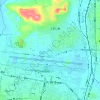
Click on the map to display elevation.
About this map
Name: 海南屯 topographic map, elevation, terrain.
Location: 海南屯, 泡崖街道, 甘井子区, 大连市, 辽宁省, 116033, 中国 (38.94984 121.52080 38.98984 121.56080)
Average elevation: 144 ft
Minimum elevation: 66 ft
Maximum elevation: 499 ft
Other topographic maps
Click on a map to view its topography, its elevation and its terrain.