Geolocate

Fruitland topographic map

Click on the map to display elevation.

About this map

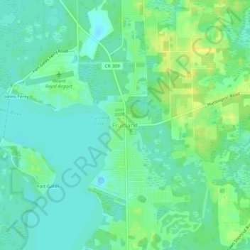
Name: Fruitland topographic map, elevation, terrain.

Location: Fruitland, Putnam County, Florida, 32139, United States (29.40724 -81.66372 29.44724 -81.62372)

Average elevation: 26 ft

Minimum elevation: -3 ft

Maximum elevation: 66 ft

Putnam County trails, hiking, mountain biking, running and outdoor activities

Gear up for your next adventure:

🪶Survival Guide Book - Expert advice for emergency preparedness
GPS Sports Watch - GPS watch for running, hiking and training
🔌Solar Panel Charger - Charge gear sustainably outdoors
🧭Outdoor Navigation Book - Learn advanced navigation skills
🛌Ultralight Sleeping Bags - Compact down bags for cold nights in the wilderness

As an Amazon Associate, this site earns from qualifying purchases at no extra cost to you.