Geolocate

Barangajuli topographic map

Click on the map to display elevation.

About this map

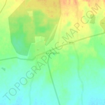
Name: Barangajuli topographic map, elevation, terrain.

Location: Barangajuli, Harisinga, Udalguri, Assam, 784526, India (26.71874 91.79345 26.75874 91.83345)

Average elevation: 384 ft

Minimum elevation: 331 ft

Maximum elevation: 446 ft

Gear up for your next adventure:

🔊Portable Camp Speaker - Music and alerts at camp
🌧️Backpack Rain Cover - Keep gear dry in wet weather
Solar GPS Watches - Advanced multisport watches with built-in topographic maps
🧭GPS Watch Accessories - Bands and chargers for GPS watches
😴Insulated Sleeping Pads - Compact and warm pads for high-elevation camping

As an Amazon Associate, this site earns from qualifying purchases at no extra cost to you.