
Thank you for supporting this site ❤️
Make a donation
Make a donation
Gear up for your next adventure:
As an Amazon Associate, this site earns from qualifying purchases at no extra cost to you.
Teruzzi topographic map
Click on the map to display elevation.
Thank you for supporting this site ❤️
Make a donation
Make a donation
Gear up for your next adventure:
As an Amazon Associate, this site earns from qualifying purchases at no extra cost to you.
About this map
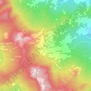
Name: Teruzzi topographic map, elevation, terrain.
Location: Teruzzi, Morfasso, Piacenza, Emilia-Romagna, Italia (44.67399 9.66824 44.71399 9.70824)
Average elevation: 3,419 ft
Minimum elevation: 2,385 ft
Maximum elevation: 4,390 ft
Thank you for supporting this site ❤️
Make a donation
Make a donation
Gear up for your next adventure:
As an Amazon Associate, this site earns from qualifying purchases at no extra cost to you.