Geolocate

Call Junction topographic map

Click on the map to display elevation.

About this map

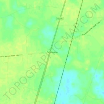
Name: Call Junction topographic map, elevation, terrain.

Location: Call Junction, Jasper County, Texas, United States (30.57243 -93.93574 30.61243 -93.89574)

Average elevation: 105 ft

Minimum elevation: 69 ft

Maximum elevation: 128 ft

Jasper County trails, hiking, mountain biking, running and outdoor activities

Gear up for your next adventure:

🛏️Cold Weather Sleeping Bag - Warm sleeping bag for cold conditions
🗺️NatGeo Topo Maps - High-quality waterproof printed topographic maps of US Parks
🧭Map Reading Tools - Tools and kits for map navigation
🛰️Handheld GPS Units - Professional satellite navigators for precise backcountry mapping
🪶Survival Guide Book - Expert advice for emergency preparedness

As an Amazon Associate, this site earns from qualifying purchases at no extra cost to you.