
Whatcom topographic map
Interactive map
Click on the map to display elevation.
About this map
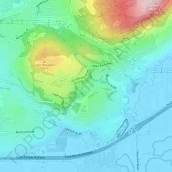
Name: Whatcom topographic map, elevation, terrain.
Location: Whatcom, Abbotsford, British Columbia, Canada (49.03341 -122.25659 49.06089 -122.20674)
Average elevation: 348 ft
Minimum elevation: 13 ft
Maximum elevation: 1,483 ft