
Homestead topographic map
Click on the map to display elevation.
About this map
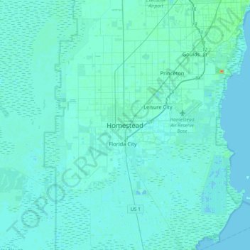
Name: Homestead topographic map, elevation, terrain.
Location: Homestead, Miami-Dade County, Florida, 33030, United States (25.31189 -80.63599 25.63189 -80.31599)
Average elevation: 10 ft
Minimum elevation: -7 ft
Maximum elevation: 154 ft
Miami-Dade County trails, hiking, mountain biking, running and outdoor activities