
Octavia topographic map
Click on the map to display elevation.
About this map
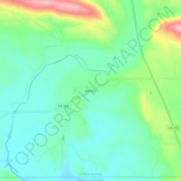
Name: Octavia topographic map, elevation, terrain.
Location: Octavia, Le Flore County, Oklahoma, 74957, United States (34.50647 -94.72207 34.54647 -94.68207)
Average elevation: 935 ft
Minimum elevation: 784 ft
Maximum elevation: 1,316 ft
Le Flore County trails, hiking, mountain biking, running and outdoor activities