Geolocate

Cortez topographic map

Click on the map to display elevation.

Cortez

Cortez has a dry-summer continental climate (Köppen Dsb), though it borders on a semi-arid climate (BSk) due to low precipitation. The city has hot summer days and cold winter nights, the latter a result of its elevation.

About this map

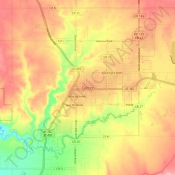
Name: Cortez topographic map, elevation, terrain.

Location: Cortez, Montezuma County, Colorado, 81321-3299, United States (37.30945 -108.62407 37.38945 -108.54407)

Average elevation: 6,132 ft

Minimum elevation: 5,807 ft

Maximum elevation: 6,365 ft

Montezuma County trails, hiking, mountain biking, running and outdoor activities

Gear up for your next adventure:

🔦LED Headlamp - Bright and durable LED headlamp for night navigation
🗃️Trail First Aid Kit - Essential kit for outdoor injuries and emergencies
🥾Women's Hiking Boots - Top-rated trail boots with ankle support and superior grip
🥩Freeze-Dried Meals - Nutritious and lightweight food for remote expeditions
📡Handheld GPS Device - Reliable handheld GPS for outdoor navigation

As an Amazon Associate, this site earns from qualifying purchases at no extra cost to you.