Geolocate

Placedo topographic map

Click on the map to display elevation.

About this map

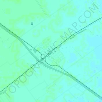
Name: Placedo topographic map, elevation, terrain.

Location: Placedo, Victoria County, Texas, 77977, United States (28.67350 -96.84582 28.71350 -96.80582)

Average elevation: 56 ft

Minimum elevation: 46 ft

Maximum elevation: 66 ft

Victoria County trails, hiking, mountain biking, running and outdoor activities

Gear up for your next adventure:

🛰️Satellite Messengers - Emergency SOS and two-way messaging for off-grid adventures
📶Satellite Messenger - Communication device off‑grid
🌧️Backpack Rain Cover - Keep gear dry in wet weather
🧦Merino Wool Socks - Moisture-wicking, blister-preventing socks for long treks
🕶️GPS Smartphone Mount - Secure mount for phone navigation

As an Amazon Associate, this site earns from qualifying purchases at no extra cost to you.