Geolocate

Jakin topographic map

Click on the map to display elevation.

About this map

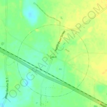
Name: Jakin topographic map, elevation, terrain.

Location: Jakin, Early County, Georgia, United States (31.07876 -84.99284 31.10482 -84.97174)

Average elevation: 157 ft

Minimum elevation: 115 ft

Maximum elevation: 190 ft

Early County trails, hiking, mountain biking, running and outdoor activities

Other topographic maps

Click on a map to view its topography, its elevation and its terrain.

Damascus

United States > Georgia > Early County

Average elevation: 213 ft

Gear up for your next adventure:

📦Gear Storage Bags - Organize and protect outdoor equipment
🧯Portable Fire Pit - Compact fire pit for camping spots
🧥Men's Rain Shells - Premium waterproof and breathable jackets for mountain weather
🛠️Outdoor Gear Repair Kit - Essential tools to fix gear on the trail
🚑Emergency Bivvies - Heat-reflective sleeping bags for survival situations

As an Amazon Associate, this site earns from qualifying purchases at no extra cost to you.