
Ottoman topographic map
Click on the map to display elevation.
About this map
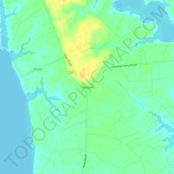
Name: Ottoman topographic map, elevation, terrain.
Location: Ottoman, Lancaster County, Virginia, 22517, United States (37.68181 -76.53995 37.72181 -76.49995)
Average elevation: 33 ft
Minimum elevation: -13 ft
Maximum elevation: 95 ft
Lancaster County trails, hiking, mountain biking, running and outdoor activities
Other topographic maps
Click on a map to view its topography, its elevation and its terrain.