
Ottosdal topographic map
Click on the map to display elevation.
Ottosdal
Ottosdal is a small town situated at an altitude of 1,479 meters (4,855 feet) on the branch railway line from Makwassie in the central North West Province of South Africa. Ottosdal is a farming community engaged in the growing of grains such as maize (mielies), sunflower and peanuts. In addition, local farmers raise cattle, sheep, pigs, dairy cows and chicken. A major pyrophyllite mine lies near it on the farm Gestoptefontein. This town originated from the establishment of a Dutch Reformed Church parish in 1913. To this was added a church building on Korannafontein, the farm of Gerhardus Petrus Otto. The town is known as the birthplace of "Die Baas", who was born there in 1952. Ottosdal grew around the church and was officially registered in 1917 and named after G. P. Otto (de Jager 1997).
About this map
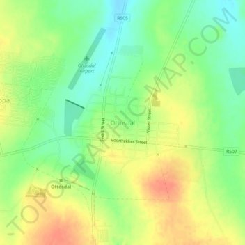
Name: Ottosdal topographic map, elevation, terrain.
Average elevation: 4,892 ft
Minimum elevation: 4,816 ft
Maximum elevation: 4,970 ft