Geolocate

Navalur topographic map

Click on the map to display elevation.

About this map

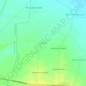
Name: Navalur topographic map, elevation, terrain.

Location: Navalur, Thanjavur, Tamil Nadu, India (10.73231 78.86094 10.77231 78.90094)

Average elevation: 226 ft

Minimum elevation: 197 ft

Maximum elevation: 266 ft

Other topographic maps

Click on a map to view its topography, its elevation and its terrain.

Sengipatti

India > Tamil Nadu > Thanjavur

Average elevation: 259 ft

Gear up for your next adventure:

🪶Fire Starter Kit - Reliable fire starter for survival and camping
🦟Ultrasonic Repellers - Create a bug-free zone at your camp or rest stop
🌎3D Topographic Globes - Raised relief globes for a tactile understanding of geography
🏔️Mountain Trail Maps - High‑detail maps for popular peaks
🎁Geography Themed Gifts - Unique gift ideas for map lovers and geography enthusiasts

As an Amazon Associate, this site earns from qualifying purchases at no extra cost to you.