Geolocate

Paranda topographic map

Click on the map to display elevation.

About this map

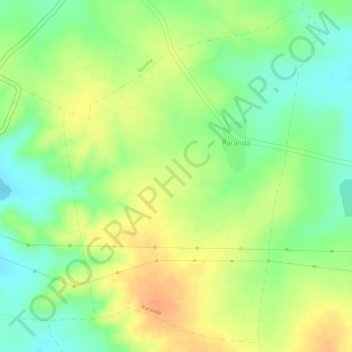
Name: Paranda topographic map, elevation, terrain.

Location: Paranda, Barshitakli, Akola District, Maharashtra, India (20.59724 77.11091 20.62284 77.13195)

Average elevation: 1,148 ft

Minimum elevation: 1,070 ft

Maximum elevation: 1,214 ft

Gear up for your next adventure:

🧦Merino Wool Socks - Moisture-wicking, blister-preventing socks for long treks
🛠️Outdoor Gear Repair Kit - Essential tools to fix gear on the trail
🧤Tactile Hiking Gloves - Keep hands warm while operating GPS and smartphone screens
🧭Pro Hiking Compasses - High-accuracy liquid-filled compasses for topographic orientation
📦Gear Storage Bags - Organize and protect outdoor equipment

As an Amazon Associate, this site earns from qualifying purchases at no extra cost to you.