
Thank you for supporting this site ❤️
Make a donation
Make a donation
Gear up for your next adventure:
As an Amazon Associate, this site earns from qualifying purchases at no extra cost to you.
Worpswede topographic map
Click on the map to display elevation.
Thank you for supporting this site ❤️
Make a donation
Make a donation
Gear up for your next adventure:
As an Amazon Associate, this site earns from qualifying purchases at no extra cost to you.
About this map
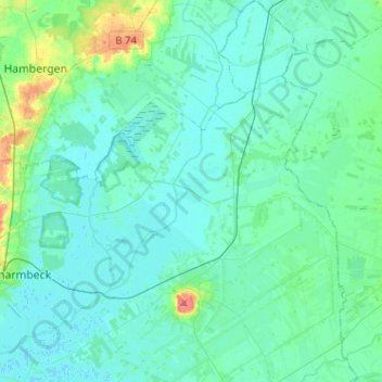
Name: Worpswede topographic map, elevation, terrain.
Location: Worpswede, Landkreis Osterholz, Lower Saxony, 27726, Germany (53.18512 8.82400 53.33768 9.02675)
Average elevation: 26 ft
Minimum elevation: -3 ft
Maximum elevation: 164 ft
Thank you for supporting this site ❤️
Make a donation
Make a donation
Gear up for your next adventure:
As an Amazon Associate, this site earns from qualifying purchases at no extra cost to you.