
Threekingham topographic map
Click on the map to display elevation.
About this map
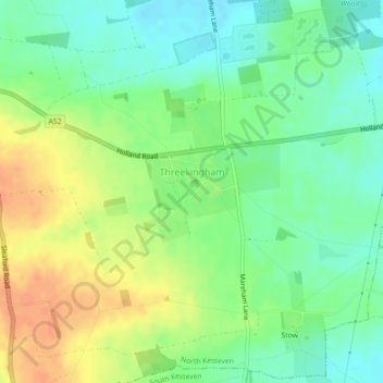
Name: Threekingham topographic map, elevation, terrain.
Average elevation: 98 ft
Minimum elevation: 39 ft
Maximum elevation: 171 ft
Other topographic maps
Click on a map to view its topography, its elevation and its terrain.
Threekingham
United Kingdom > England > Lincolnshire > North Kesteven > Threekingham
Average elevation: 72 ft
Three Kings Deer
United Kingdom > England > Lincolnshire > North Kesteven > Threekingham
Average elevation: 79 ft