
Thank you for supporting this site ❤️
Make a donation
Make a donation
Gear up for your next adventure:
As an Amazon Associate, this site earns from qualifying purchases at no extra cost to you.
Giare topographic map
Click on the map to display elevation.
Thank you for supporting this site ❤️
Make a donation
Make a donation
Gear up for your next adventure:
As an Amazon Associate, this site earns from qualifying purchases at no extra cost to you.
About this map
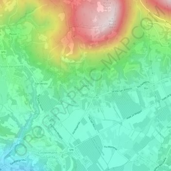
Name: Giare topographic map, elevation, terrain.
Location: Giare, Pesina, Caprino Veronese, Verona, Veneto, 37013, Italia (45.58186 10.73270 45.62186 10.77270)
Average elevation: 1,171 ft
Minimum elevation: 371 ft
Maximum elevation: 2,884 ft
Thank you for supporting this site ❤️
Make a donation
Make a donation
Gear up for your next adventure:
As an Amazon Associate, this site earns from qualifying purchases at no extra cost to you.