
Thank you for supporting this site ❤️
Make a donation
Make a donation
Gear up for your next adventure:
As an Amazon Associate, this site earns from qualifying purchases at no extra cost to you.
Natipuan topographic map
Click on the map to display elevation.
Thank you for supporting this site ❤️
Make a donation
Make a donation
Gear up for your next adventure:
As an Amazon Associate, this site earns from qualifying purchases at no extra cost to you.
About this map
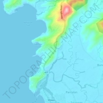
Name: Natipuan topographic map, elevation, terrain.
Location: Natipuan, Nasugbu, Batangas, Calabarzon, 4231, Philippines (14.07963 120.60615 14.11963 120.64615)
Average elevation: 72 ft
Minimum elevation: 0 ft
Maximum elevation: 761 ft
Thank you for supporting this site ❤️
Make a donation
Make a donation
Gear up for your next adventure:
As an Amazon Associate, this site earns from qualifying purchases at no extra cost to you.