Geolocate

Basin topographic map

Click on the map to display elevation.

About this map

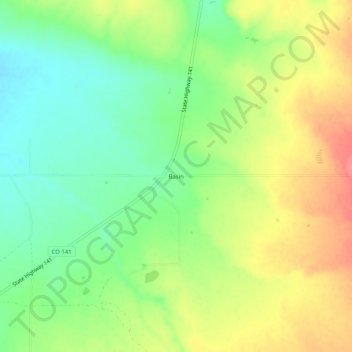
Name: Basin topographic map, elevation, terrain.

Location: Basin, San Miguel County, Colorado, United States (38.04583 -108.55676 38.08583 -108.51676)

Average elevation: 6,568 ft

Minimum elevation: 6,463 ft

Maximum elevation: 6,696 ft

Colorado trails, hiking, mountain biking, running and outdoor activities

Gear up for your next adventure:

🛠️Outdoor Gear Repair Kit - Essential tools to fix gear on the trail
🛰️Handheld GPS Units - Professional satellite navigators for precise backcountry mapping
🧭Hiking Compass - Precision compass for reliable navigation in the wilderness
🕶️Glacier Sunglasses - Side shields to protect eyes from high-altitude snow glare
🪶Survival Guide Book - Expert advice for emergency preparedness

As an Amazon Associate, this site earns from qualifying purchases at no extra cost to you.