Geolocate

Palazzo Valgorrera topographic map

Click on the map to display elevation.

About this map

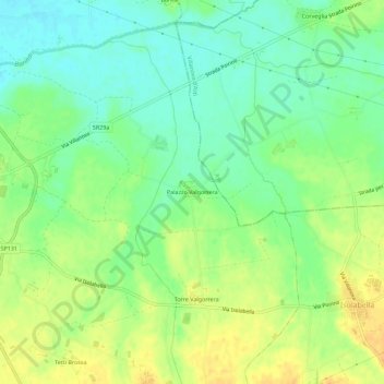
Name: Palazzo Valgorrera topographic map, elevation, terrain.

Location: Palazzo Valgorrera, Poirino, Torino, Piedmont, 10046, Italy (44.89848 7.86584 44.93848 7.90584)

Average elevation: 827 ft

Minimum elevation: 781 ft

Maximum elevation: 876 ft

Gear up for your next adventure:

🚑Emergency Bivvies - Heat-reflective sleeping bags for survival situations
🛰️Handheld GPS Units - Professional satellite navigators for precise backcountry mapping
🛡️Bear Spray Outdoor - Protection in bear country hikes
🧢Outdoor Hiking Hat - Sun protection hat for outdoor explorers
🧭Pro Hiking Compasses - High-accuracy liquid-filled compasses for topographic orientation

As an Amazon Associate, this site earns from qualifying purchases at no extra cost to you.