
Потёсы topographic map
Interactive map
Click on the map to display elevation.
About this map
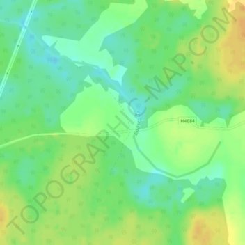
Name: Потёсы topographic map, elevation, terrain.
Average elevation: 469 ft
Minimum elevation: 427 ft
Maximum elevation: 515 ft
Other topographic maps
Click on a map to view its topography, its elevation and its terrain.
Синицино
Беларусь > Гомельская область > Ветковский район > Неглюбский сельский Совет
Average elevation: 505 ft