Geolocate

Alvon topographic map

Click on the map to display elevation.

About this map

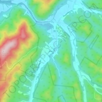
Name: Alvon topographic map, elevation, terrain.

Location: Alvon, Greenbrier County, West Virginia, United States (37.88512 -80.23424 37.92512 -80.19424)

Average elevation: 2,231 ft

Minimum elevation: 1,903 ft

Maximum elevation: 3,064 ft

Gear up for your next adventure:

🥾Men's Hiking Boots - Durable, waterproof footwear for rugged terrain and steep inclines
🔌Solar Panel Charger - Charge gear sustainably outdoors
🧷Carabiner Set - Durable clips for gear attachment
🌡️Handheld Weather Meters - Measure wind, temp, and pressure for safe mountain travel
👓Polarized Sunglasses - Outdoor sunglasses for glare reduction

As an Amazon Associate, this site earns from qualifying purchases at no extra cost to you.