Geolocate

Polstead topographic map

Click on the map to display elevation.

About this map

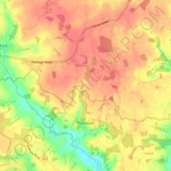
Name: Polstead topographic map, elevation, terrain.

Location: Polstead, Babergh, Suffolk, England, United Kingdom (51.99280 0.84993 52.04241 0.92071)

Average elevation: 174 ft

Minimum elevation: 39 ft

Maximum elevation: 253 ft

Gear up for your next adventure:

🩹Survival Bandages - High‑quality bandages for emergencies
🥾Men's Hiking Boots - Durable, waterproof footwear for rugged terrain and steep inclines
🎁Geography Themed Gifts - Unique gift ideas for map lovers and geography enthusiasts
🏫Relief Map Kits - Hands-on tools for teaching landforms and elevation
🔪Outdoor Multitools - Essential survival tools for gear repair and field use

As an Amazon Associate, this site earns from qualifying purchases at no extra cost to you.