Geolocate

Onna topographic map

Click on the map to display elevation.

About this map

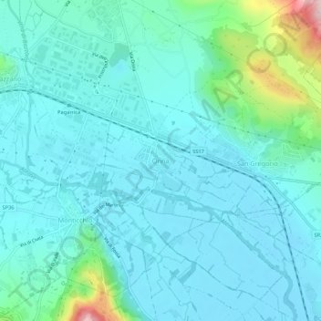
Name: Onna topographic map, elevation, terrain.

Location: Onna, L'Aquila, 67040, Italy (42.30785 13.45975 42.34785 13.49975)

Average elevation: 2,014 ft

Minimum elevation: 1,867 ft

Maximum elevation: 2,808 ft

Gear up for your next adventure:

🗃️Trail First Aid Kit - Essential kit for outdoor injuries and emergencies
🧥Men's Rain Shells - Premium waterproof and breathable jackets for mountain weather
🎒Waterproof Dry Bags - Keep your electronics and maps dry inside your pack
🗺️NatGeo Topo Maps - High-quality waterproof printed topographic maps of US Parks
🪑Portable Camp Table - Compact table for campsite meals

As an Amazon Associate, this site earns from qualifying purchases at no extra cost to you.