Geolocate

Barsana topographic map

Click on the map to display elevation.

About this map

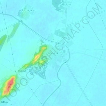
Name: Barsana topographic map, elevation, terrain.

Location: Barsana, Chhata, Mathura, Uttar Pradesh, 281405, India (27.62814 77.35647 27.66814 77.39647)

Average elevation: 614 ft

Minimum elevation: 591 ft

Maximum elevation: 823 ft

Other topographic maps

Click on a map to view its topography, its elevation and its terrain.

Chhata

India > Uttar Pradesh > Mathura

Average elevation: 604 ft

Gear up for your next adventure:

👟Men's Trail Runners - Lightweight footwear for fast-paced exploration and light hiking
🔭Telescopic Hiking Pole - Adjustable pole for hiking stability
🪶Multi‑Purpose Knife - Useful blade for camp and trail
🔭Compact Binoculars - HD vision for scouting terrain and identifying distant landmarks
🛡️Bear Spray Outdoor - Protection in bear country hikes

As an Amazon Associate, this site earns from qualifying purchases at no extra cost to you.