
Prekestolen topographic map
Interactive map
Click on the map to display elevation.
About this map
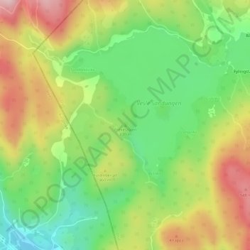
Name: Prekestolen topographic map, elevation, terrain.
Location: Prekestolen, Oslo, Norvège (60.10895 10.59275 60.10905 10.59285)
Average elevation: 1,401 ft
Minimum elevation: 1,033 ft
Maximum elevation: 1,857 ft
Other topographic maps
Click on a map to view its topography, its elevation and its terrain.