
Oslo topographic map
Interactive map
Click on the map to display elevation.
About this map
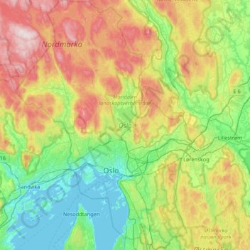
Name: Oslo topographic map, elevation, terrain.
Location: Oslo, Norway (59.80931 10.48917 60.13511 10.95139)
Average elevation: 738 ft
Minimum elevation: -3 ft
Maximum elevation: 2,238 ft
Other topographic maps
Click on a map to view its topography, its elevation and its terrain.