Geolocate

Reliegos topographic map

Click on the map to display elevation.

About this map

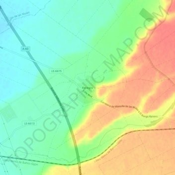
Name: Reliegos topographic map, elevation, terrain.

Location: Reliegos, Santas Martas, León, Castile and León, 24339, Spain (42.45491 -5.37481 42.49491 -5.33481)

Average elevation: 2,717 ft

Minimum elevation: 2,635 ft

Maximum elevation: 2,815 ft

Gear up for your next adventure:

🦟Ultrasonic Repellers - Create a bug-free zone at your camp or rest stop
🪄Magnetic Compass - Accurate compass for navigation
🧭Hiking Compass - Precision compass for reliable navigation in the wilderness
Backpacking Tent - Lightweight and durable tent for multi‑day hikes
🪶Camp Gear Gift Set - Perfect gift bundle for outdoor fans

As an Amazon Associate, this site earns from qualifying purchases at no extra cost to you.