
Salling topographic map
Interactive map
Click on the map to display elevation.
About this map
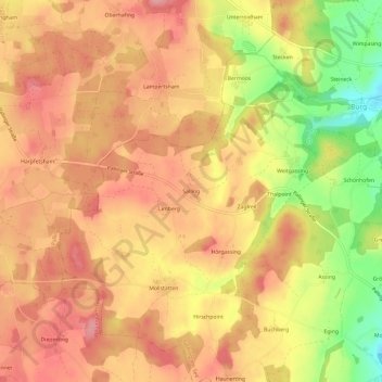
Name: Salling topographic map, elevation, terrain.
Average elevation: 1,801 ft
Minimum elevation: 1,555 ft
Maximum elevation: 1,932 ft
Other topographic maps
Click on a map to view its topography, its elevation and its terrain.
Mauerham
Deutschland > Bayern > Landkreis Traunstein > Taching am See
Mauerham, Taching am See, Waging am See (VGem), Landkreis Traunstein, Bayern, 83373, Deutschland
Average elevation: 1,591 ft
Eging
Deutschland > Bayern > Landkreis Traunstein > Taching am See > Eging
Eging, Taching am See, Waging am See (VGem), Landkreis Traunstein, Bayern, 83373, Deutschland
Average elevation: 1,696 ft